(Editing a gallery) |
m (Reverted edits by Sirjeffdash (talk) to last revision by Theidiot233) Tag: Rollback |
||
| Line 9: | Line 9: | ||
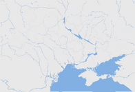
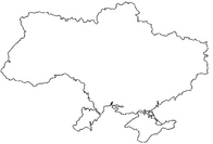
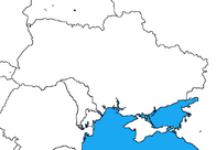
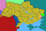
B.png|Ukraine (No borders) |
B.png|Ukraine (No borders) |
||
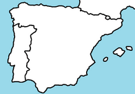
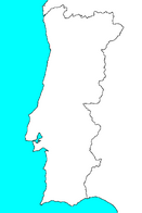
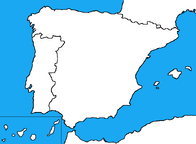
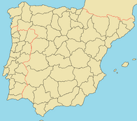
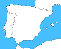
Oiuytewq.png|Iberia (With rivers) |
Oiuytewq.png|Iberia (With rivers) |
||
| − | Georgia 1.png |
+ | File:Georgia 1.png |
Greenland.png|Greenland |
Greenland.png|Greenland |
||
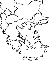
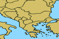
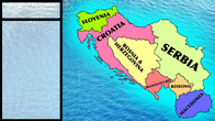
Balkans01.gif|Balkan |
Balkans01.gif|Balkan |
||
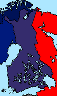
| − | + | finnishcivilwar.png|A map of Finland in 1938 or something |
|
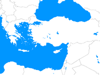
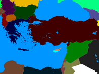
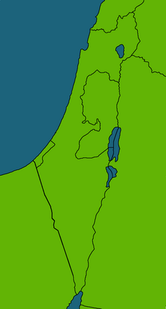
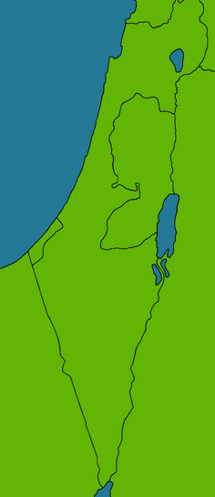
Eastern Mediterranean.png|Eastern Mediterranean |
Eastern Mediterranean.png|Eastern Mediterranean |
||
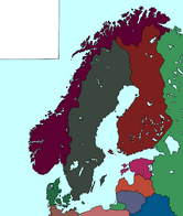
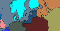
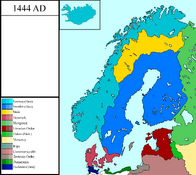
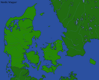
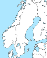
SouthScandinavia.png|South Scandinavia & Baltics |
SouthScandinavia.png|South Scandinavia & Baltics |
||
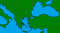
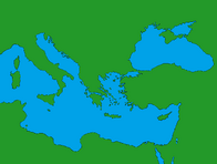
| − | + | medeterannean.png|Mediterranean Sea & Black Sea |
|
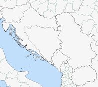
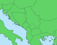
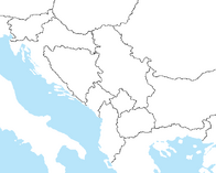
Balkan map blank.png|Map of the Western balkans |
Balkan map blank.png|Map of the Western balkans |
||
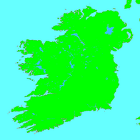
Irelandblank.png|Map of Ireland and the Isle of Man |
Irelandblank.png|Map of Ireland and the Isle of Man |
||
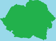
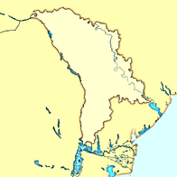
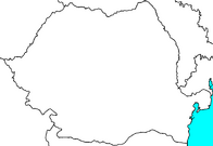
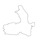
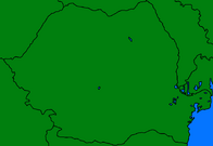
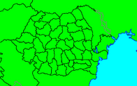
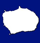
Romania Blank map main.png|Map of Romania and Moldova as an island. |
Romania Blank map main.png|Map of Romania and Moldova as an island. |
||
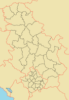
| − | + | Serbia_location_map.svg.png|Serbia |
|
| − | 543px- |
+ | 543px-Yugoslavia_blank_map.png|Yugoslavia |
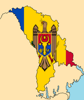
| − | + | Moldova_map_modern.png|Moldova |
|
| − | + | sadsa.png|Blank map of Iberia |
|
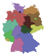
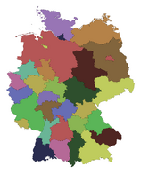
Germany 2015.png|Germany in 2015 |
Germany 2015.png|Germany in 2015 |
||
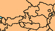
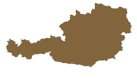
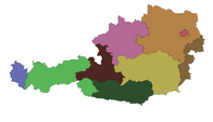
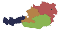
Austria 2015.png|Austria in 2015 |
Austria 2015.png|Austria in 2015 |
||
| Line 39: | Line 39: | ||
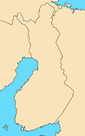
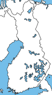
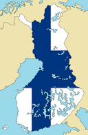
Finska!.png|Finland Map |
Finska!.png|Finland Map |
||
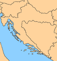
Croatia.png|Croatia |
Croatia.png|Croatia |
||
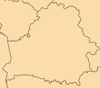
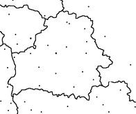
| − | + | sgdfaasf.PNG|Belarus map |
|
Ukraine Map.png|Ukraine Blank map |
Ukraine Map.png|Ukraine Blank map |
||
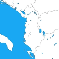
Albania.png|Albania |
Albania.png|Albania |
||
| Line 47: | Line 47: | ||
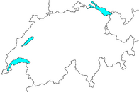
Blank map of Switzerland.png|Blank map of Switzerland |
Blank map of Switzerland.png|Blank map of Switzerland |
||
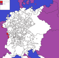
HRE DONE!.png|The Holy Roman Empire in 1400 |
HRE DONE!.png|The Holy Roman Empire in 1400 |
||
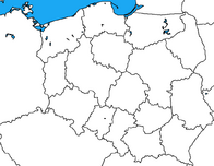
| − | + | Poland_provinces.png|Poland with provinces |
|
Ukrainemap.png|Ukraine |
Ukrainemap.png|Ukraine |
||
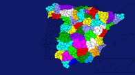
Spainmap.png|Spain |
Spainmap.png|Spain |
||
| − | + | romania map.png|Map of Romania |
|
Bulgaria!.png|Bulgaria Map w/ Counties |
Bulgaria!.png|Bulgaria Map w/ Counties |
||
IrelandMap.png|Map of Ireland by Tolf. |
IrelandMap.png|Map of Ireland by Tolf. |
||
| Line 61: | Line 61: | ||
Finland map.png|Map of Finland |
Finland map.png|Map of Finland |
||
Bulgariamap.png|Bulgaria |
Bulgariamap.png|Bulgaria |
||
| − | + | szekely.png|Szekely |
|
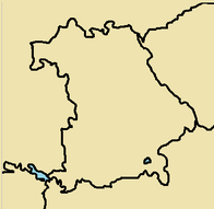
Bavariamap.png|Bavaria |
Bavariamap.png|Bavaria |
||
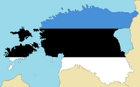
Estonia.png|Estonia Map |
Estonia.png|Estonia Map |
||
| Line 107: | Line 107: | ||
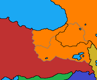
Thracian Wars.png |
Thracian Wars.png |
||
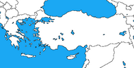
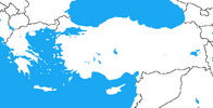
Blank map of greece and turkey by dinospain-d85oij5.png |
Blank map of greece and turkey by dinospain-d85oij5.png |
||
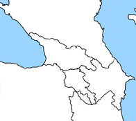
| − | + | caucas modern map.png |
|
1400 - Teutonic Order.png|Map of Europe in 1400 (Dillan V. Mapping) |
1400 - Teutonic Order.png|Map of Europe in 1400 (Dillan V. Mapping) |
||
1922 CATASTROPHE.png |
1922 CATASTROPHE.png |
||
| Line 122: | Line 122: | ||
Vardarska Republic MadeMap By MEFORMERPOTATO09.png |
Vardarska Republic MadeMap By MEFORMERPOTATO09.png |
||
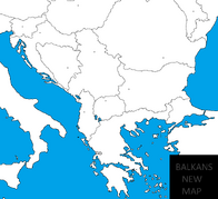
THIS IS BALKANS NEW ALTERNATE MAP FOLKS.png |
THIS IS BALKANS NEW ALTERNATE MAP FOLKS.png |
||
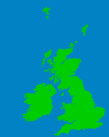
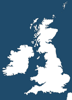
| − | + | britishisles.png|Blank map of the British Isles |
|
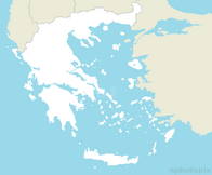
GreeceWithOutProvinces.png |
GreeceWithOutProvinces.png |
||
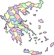
GreeceWithProvinces.png |
GreeceWithProvinces.png |
||
| Line 130: | Line 130: | ||
MAP OF SOUTH BALKANS GREECE BEST.png |
MAP OF SOUTH BALKANS GREECE BEST.png |
||
Balkan.png|Map of The Balkan By Razvy |
Balkan.png|Map of The Balkan By Razvy |
||
| − | + | britanya.png|blank map of britania |
|
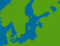
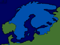
| − | + | Scandinavia_and_Baltic_Sea_Colored_Betel.png|Inspired by Europa Universalis IV By Betelgeused =D |
|
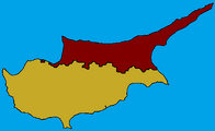
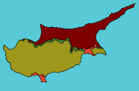
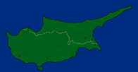
Cyprus w/ Possible Northern Cyprus.png|Cyprus with rivers, lakes, and Northern Cyprus. |
Cyprus w/ Possible Northern Cyprus.png|Cyprus with rivers, lakes, and Northern Cyprus. |
||
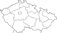
Czechia.png|Czechia with lakes, rivers, and border |
Czechia.png|Czechia with lakes, rivers, and border |
||
| Line 137: | Line 137: | ||
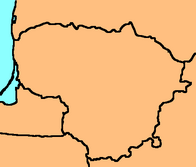
Lithuanian regional map 3.jpg|Lithuanian Regional map|link=Countries and regions |
Lithuanian regional map 3.jpg|Lithuanian Regional map|link=Countries and regions |
||
Lithuanian regional map 3.jpg|Lithuania |
Lithuanian regional map 3.jpg|Lithuania |
||
| − | + | balkansss.png|Balkans Map|link=https://www.youtube.com/channel/UCjmlC5Xl40nuxso_QelyyvA |
|
| − | + | harıta.png|balkans midlle east+ |
|
Middle Europe.png|Middle Europe |
Middle Europe.png|Middle Europe |
||
Russia map.png|Russia's map as an isles with regions (Without Crimea) |
Russia map.png|Russia's map as an isles with regions (Without Crimea) |
||
| − | + | asdfg.png|Iberian peninsula |
|
UkraineN.png|'''Ukraine w/ borders''', Transnistria and ''Novorossia'' (DPR and LPR) |
UkraineN.png|'''Ukraine w/ borders''', Transnistria and ''Novorossia'' (DPR and LPR) |
||
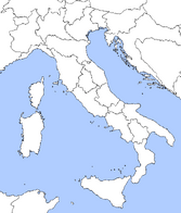
Blank Italian Map.png|Blank Map of the Italian Peninsula (Caritasiii) |
Blank Italian Map.png|Blank Map of the Italian Peninsula (Caritasiii) |
||
| Line 158: | Line 158: | ||
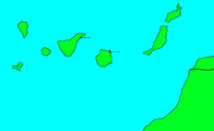
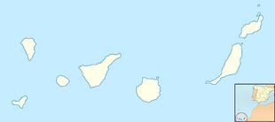
Canarias.png|Canary Islands with Cities by xXSebbanXx! |
Canarias.png|Canary Islands with Cities by xXSebbanXx! |
||
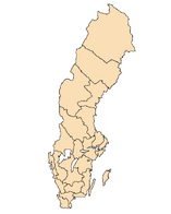
Sweden Map.png|Map of Sweden |
Sweden Map.png|Map of Sweden |
||
| − | + | map of helsinki.png|Map of Helsinki and Surrounding Areas |
|
| − | + | map of anchorage.png|Map of Anchorage |
|
Map of the Czech Republic with Regions.png|Map of the Czech Republic with Regions by Delirium |
Map of the Czech Republic with Regions.png|Map of the Czech Republic with Regions by Delirium |
||
Ugrofinowie.png|Map of Finland, Russia, Estonia and a little bit of Sweden by Transformice Mapping |
Ugrofinowie.png|Map of Finland, Russia, Estonia and a little bit of Sweden by Transformice Mapping |
||
| Line 171: | Line 171: | ||
Balkan Peninsula.png|The Balkans,Made by CMapping |
Balkan Peninsula.png|The Balkans,Made by CMapping |
||
Balkans map.png|Balkans,North Africa and a bit of Middle East (By Ge0rge08) |
Balkans map.png|Balkans,North Africa and a bit of Middle East (By Ge0rge08) |
||
| + | Gc01_cropped&no_watermark.jpg|Detailed relief of Gran Canaria|link=https://upload.wikimedia.org/wikipedia/commons/3/32/Gc01_cropped%26no_watermark.jpg |
||
| − | + | Communes_of_France.png|Big France |
|
| − | Romania Administrative Divisions Proposal 2012.png|Romania map detailed |
||
| + | Romania_Administrative_Divisions_Proposal_2012.png|Romania map detailed |
||
Sweden.png|A map of Sweden |
Sweden.png|A map of Sweden |
||
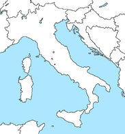
Map of Italy.png|A map of Italy |
Map of Italy.png|A map of Italy |
||
| Line 178: | Line 179: | ||
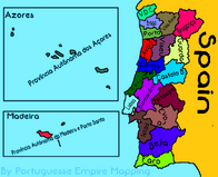
As Províncias de Portugal e as Províncias Autónomas de Portugal.png|As Províncias de Portugal e as Províncias Autónomas de Portugal /The Provinces of Portugal and Autonomus Provinces of Portugal by Portuguesse Empire Mapper |
As Províncias de Portugal e as Províncias Autónomas de Portugal.png|As Províncias de Portugal e as Províncias Autónomas de Portugal /The Provinces of Portugal and Autonomus Provinces of Portugal by Portuguesse Empire Mapper |
||
Romania Counties Map.png|Romania Counties Map |
Romania Counties Map.png|Romania Counties Map |
||
| − | 1088px- |
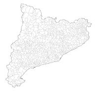
+ | 1088px-Mapa_municipal_de_Catalunya.jpg|Catalonia map with municipalities |
Comunidad de madrid.jpg|Comunidad de Madrid municipalities |
Comunidad de madrid.jpg|Comunidad de Madrid municipalities |
||
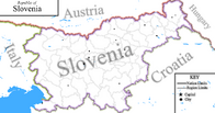
| − | + | slovenia map.png|Map of Slovenia with cities and regions/counties |
|
Serbia Political Map.jpg|Map of Serbia with cities and roads |
Serbia Political Map.jpg|Map of Serbia with cities and roads |
||
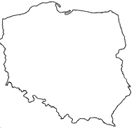
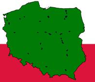
POLAND.png |
POLAND.png |
||
| Line 210: | Line 211: | ||
Europe 1832 Alternate.png|Alternate version of 1836 (Europe) |
Europe 1832 Alternate.png|Alternate version of 1836 (Europe) |
||
Europa in 1914.png|A map of Europe in 1914 |
Europa in 1914.png|A map of Europe in 1914 |
||
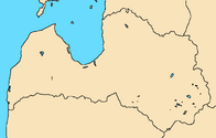
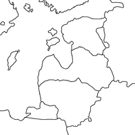
| − | + | baltic states.png|Baltic States |
|
Greenland Gray - Made by Fernium Dennis.png|Greenland Map - Dark Gray|link=https://thefutureofeuropes.wikia.com/wiki/File:Greenland_Gray_-_Made_by_Fernium_Dennis.png?oldid=855476 |
Greenland Gray - Made by Fernium Dennis.png|Greenland Map - Dark Gray|link=https://thefutureofeuropes.wikia.com/wiki/File:Greenland_Gray_-_Made_by_Fernium_Dennis.png?oldid=855476 |
||
390CBBC8-7F6C-4663-8ED6-BE9718520907.png|Map of Yugoslavia |
390CBBC8-7F6C-4663-8ED6-BE9718520907.png|Map of Yugoslavia |
||
Map of England counties without names.png|Map only only England's Counties |
Map of England counties without names.png|Map only only England's Counties |
||
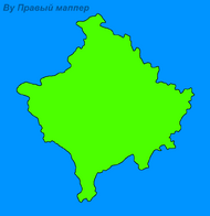
| − | + | карта косово остров.png|Map of Kosovo island |
|
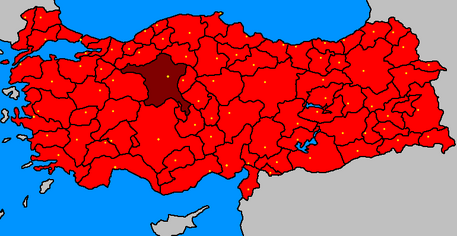
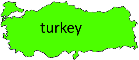
20e9df0e993dab31f6670690b2bc6fd4c7245367.png|Türkiye Boş Haritası |
20e9df0e993dab31f6670690b2bc6fd4c7245367.png|Türkiye Boş Haritası |
||
| − | + | southbalkan-map-by-sarekreiss.png|South balkan map by Sarekreiss HD|link=none |
|
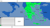
Greece 2019 CE.png|If Greece broke up |
Greece 2019 CE.png|If Greece broke up |
||
Baltic States in 2019.png|The Baltic States |
Baltic States in 2019.png|The Baltic States |
||
Reichskommissariat Ukraine.png|Reichskommissariat Ukraine |
Reichskommissariat Ukraine.png|Reichskommissariat Ukraine |
||
| − | + | animation10.1.png|map of Hong Kong, Macau, And China (yes I know it is ugly) |
|
| − | + | hK.png|map of Hong Kong, Macau, and China (update) |
|
Blank Ukraine.png|Blank Ukraine. |
Blank Ukraine.png|Blank Ukraine. |
||
Switzerland Blank w/cities.png|Switzerland with Bern, Geneva and Zurich |
Switzerland Blank w/cities.png|Switzerland with Bern, Geneva and Zurich |
||
| Line 228: | Line 229: | ||
Iberia Map.png|Map of Iberia |
Iberia Map.png|Map of Iberia |
||
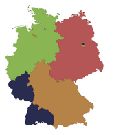
20th Century Germany.png |
20th Century Germany.png |
||
| − | + | map of ireland with cities.png|A map of Ireland I made (with cities) first map so there might be problems. |
|
Balkansmap.png|balkans map by North Mapping |
Balkansmap.png|balkans map by North Mapping |
||
| − | + | polandmapsformappers.png|Map of poland |
|
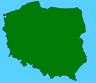
Poland as an island.png|Poland as an island 2 |
Poland as an island.png|Poland as an island 2 |
||
| − | + | original.png|Map of Iberia (Llívia and Gibraltar included) |
|
Bulgararia.png|Huge 4K blank map of Bulgarian provinces |
Bulgararia.png|Huge 4K blank map of Bulgarian provinces |
||
Austria Hungary Island.png|Austria Hungary by Dutch Mapping |
Austria Hungary Island.png|Austria Hungary by Dutch Mapping |
||
CCD96BC2-9B81-48CA-B6DD-1320DD615451.png|random photo|link=https://thefutureofeuropes.fandom.com/wiki/Maps_for_Mappers/Countries_and_regions |
CCD96BC2-9B81-48CA-B6DD-1320DD615451.png|random photo|link=https://thefutureofeuropes.fandom.com/wiki/Maps_for_Mappers/Countries_and_regions |
||
| − | Screenshot_20201031-004137_FlipaClip.jpg|Middle east map (with capitals) |
||
</gallery> |
</gallery> |
||
Revision as of 07:09, 31 October 2020
| Maps for Mappers InfoBox |
|---|
|
Types of Maps Maps for Mappers | Space Maps | Polandball Maps | National and Regional Maps | Fantasy Maps | Historical Maps | Alternative Maps | Vector Maps If you're looking for vector maps (.svg) to use in Inkscape or any other vector graphics editor, go here. Adding New Maps Rules When adding a new map, please make sure file type is PNG, or GIF, or SVG for vector maps. Please make sure you are adding the map in the appropriate category. In addition, please make sure you are not duplicating a map. (unless the original map is a bad quality map) Make sure that the maps are actually useful for mappers who are in need. To add a map into the gallery. Scroll all the way to the bottom of the gallery and click on "add photo to gallery." From there, upload a photo, add a caption/description and then click publish and there you go. By adding a map to the any of the Maps for Mappers, unless stated, you agree that you allow any mappers to use the map that you posted without your permission under Public Domain. |
| Instructions for Using the Map |
|
This page contains maps for mappers for regions and countries. Full maps will belong in the Maps for Mappeategory.

